Research & Development Projects
EquiCity
The project proposes a digital serious gaming approach for creating a ‘smart polder model’ to support transparent and inclusive decision-making processes in urban planning and management. The ultimate aim of the project is to provide innovative participatory tools to better reach social, economic, and environmental sustainability, especially in historic cities, where cultural heritage and its values is to influence decision-making processes in urban planning and management.
topoGenesis
topoGenesisis is an open-source python package that provides topological structures and functions for Generative Systems and Sciences for various application areas
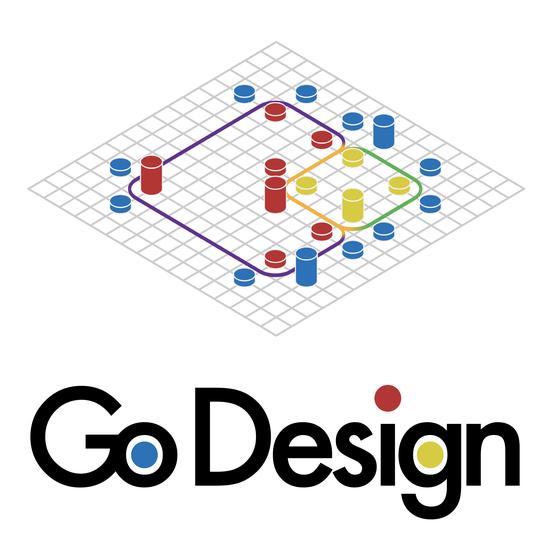
GoDesign Games
GoDesign Games is a general mathematical framework for participatory and multi-criteria spatial design at the scale of urban blocks or multi-functional building complexes (i.e. neighborhood design to architectural design) for structuring design tasks as discrete spatial decision-making problems.
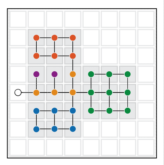
Configragpics
Graph theoretical methods for design and analysis of spatial configurations
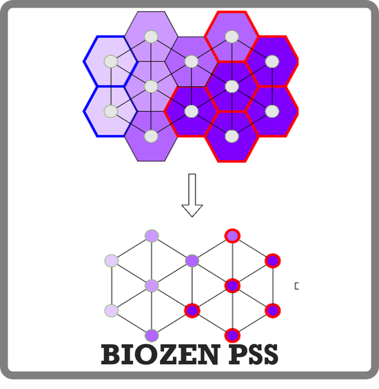
BIOZEN PSS
An Augmented Plannig Support System for Renewable Energy Planning
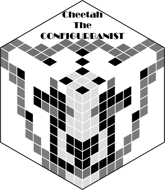
Cheetah, the CONFIGURBANIST
Cheetah the ONFIGURBANIST is a plugin for configurational analysis in urban design projects, made as an add on for grasshopper©.
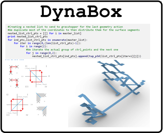
DYNABOX
An overview of the latest industrial/practical and academic/theoretical solutions and approaches currently available or known to the public for mass customization of building construction
PanaromaMesh
Technical report on automated 3D reconstruction of buildings out of point clouds obtained from panoramic images
R-MAP
R-Map aims to analyze the impact of remote working arrangements (RWAs) on the disparities between urban and rural regions in Europe.
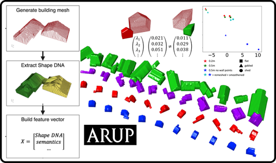
SpectraLearning
Research and development on machine learning & topological computing for Shape-based classification of seismic building structural types
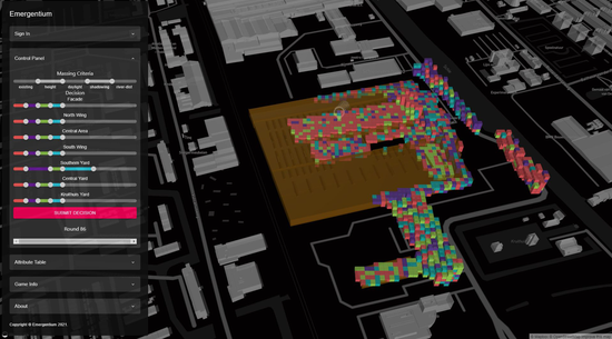
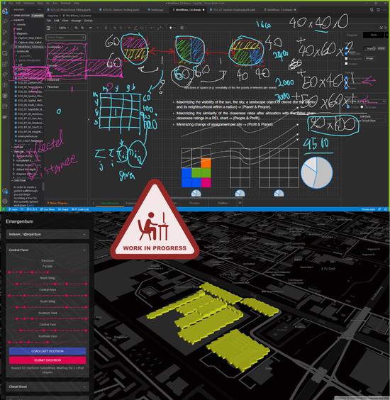
Emergentium
Emergentium is an open and accessible platform for urban and spatial simulations. It aims to facilitate research on multi-dimensional, multi-criteria, and multi-actor aspects of the built environment by providing a dynamic and interactive simulation platform that focuses on decentralized spatial simulations.
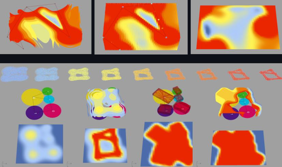
RASTERWORKS
RASTERWORKS provides topological rasterization and vectorization (polygonization) of scalar fields.
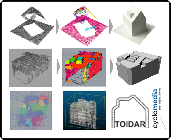
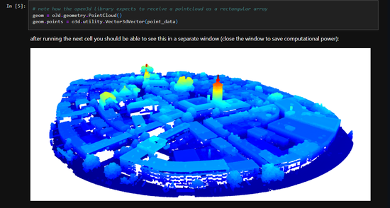
TOIDAR
TOIDAR is a suite of educational Toys for LIDAR point cloud processing_Archived