Participatory Design in Digital Twins
Web-based Platforms for Participatory Spatial Decision Making
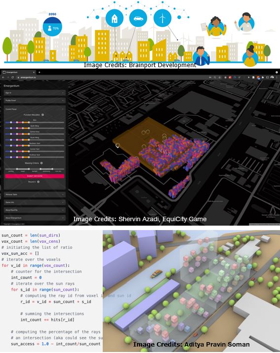
Background and aim:
The decisions made on the spatial configurations and distributions in the built environments (urban or rural developments) directly influences the life of multiple stakeholders. The aim of the project is to provide mechanisms for involving different stakeholders in the spatial decision making process and facilitating their negotiations through Spatial Decision Support Systems (SDSS).
Research question:
- How to make digital twins for participatory spatial decision making?
Design objective:
- To design and prototype a Multi-Actor and Multi-Criteria Spatial Decision Support System.
Methods:
- geo-spatial computing (geo-informatics)
- geo-spatial analysis (spatial queries)
- geo-spatial Database Management Systems (DBMS)
- Computer Programming (Python/C#)