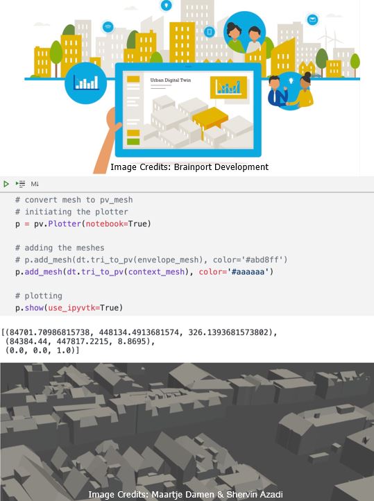
Background and aim:
The decisions made on the spatial configurations and distributions in the built environments (urban or rural developments) have enormous impacts on the environmental, economic, and societal sustainability of the planet. The aim of the project is to provide mechanisms for modelling the impacts of such spatial decisions using open-source libraries and geo-spatial data to simulate complex what-if scenarios for transparent and participatory decision-making.
Research question:
- How to make digital twins for spatial decision support using open-data and open-source libraries?
Design objective:
- To design and implement a computational framework for geo-spatial digital twinning geared towards decision analysis.
Methods:
- geo-spatial computing (geo-informatics)
- geo-spatial analysis (spatial queries)
- geo-spatial Database Management Systems (DBMS)
- Computer Programming (Python/C#)